-40%
185 old maps NEVADA state PANORAMIC genealogy HISTORY atlas DVD
$ 3.16
- Description
- Size Guide
Description
Your browser does not support JavaScript. To view this page, enable JavaScript if it is disabled or upgrade your browser.Click Here. Double your traffic. Get Vendio Gallery - Now FREE!
Rare Map Collection
This DVD is part of our Historic Map and Atlas Collection.
We have dozens of Atlas maps on DVD and CD ranging from the 1500s to the 1900s covering many areas and topics.
Please Check our Ebay Store for what's available.
FOR MANY MORE EDUCATIONAL CD TITLES
ON THIS AND MANY OTHER SUBJECTS
PLEASE VISIT OUR EBAY STORE
VERY LARGE HIGH RESOLUTION
MAP COLLECTION
ON DVD!!
(please see full table of contents and sample illustrations below)
This DVD Contains
185 Maps of
Nevada
Including
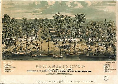
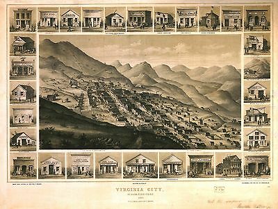
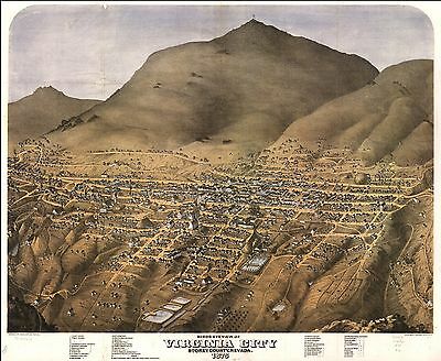
3 PANORAMIC MAPS
of various Nevada Cities
These are scans of the
ORIGINAL
maps by various Cartographers.
on DVD
System requirements
PC or Mac compatible.
Files are simple PDF files with a basic HTML interface (just like viewing a webpage)
Works with ALL versions of Windows.
Maps of
Nevada
0408005
King, Clarence
1876
Nevada Plateau. (Geological)
0408006
King, Clarence
1876
Nevada Basin. (Geological)
0408013
King, Clarence
1876
Nevada Basin. (Topographical)
0594046
(Mitchell, Samuel Augustus)
1890
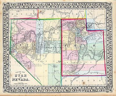
Utah, Nevada.
1070019
U.S. General Land Office
1866
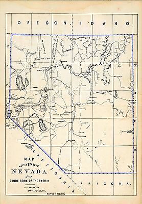
Nevada.
1566001
Becker, George F.
1882
Map of the Washoe District Showing Mining Claims.
1566002
Becker, George F.
1882
Geological Map of the Washoe District.
1566003
Becker, George F.
1882
Vertical Cross Sections of the Lode.
1566004
Becker, George F.
1882
Vertical Cross Sections of the Lode.
1566005
Becker, George F.
1882
Vertical Cross Sections of the Lode.
1566006
Becker, George F.
1882
Horizontal Section of the Comstock Lode at the Sutro Tunnel Level
1566007
Becker, George F.
1882
Horizontal Section of the Comstock Lode at the Sutro Tunnel Level (South End).
1566008
Becker, George F.
1882
Longitudinal Vertical Projection of the Comstock Lode. Number I.
1566009
Becker, George F.
1882
Longitudinal Vertical Projection of the Comstock Lode. Number II.
1566010
Becker, George F.
1882
Longitudinal Vertical Projection of the Comstock Lode. Number III.
1566011
Becker, George F.
1882
Comstock Mine Maps. Number I.
1566012
Becker, George F.
1882
Comstock Mine Maps. Number II.
1566013
Becker, George F.
1882
Comstock Mine Maps. Number III.
1566014
Becker, George F.
1882
Comstock Mine Maps. Number IV.
1566015
Becker, George F.
1882
Comstock Mine Maps. Number V.
1566016
Becker, George F.
1882
Comstock Mine Maps. Number VI.
1566017
Becker, George F.
1882
Comstock Mine Maps. Number VII.
1566018
Becker, George F.
1882
Comstock Mine Maps. Number VIII.
1566019
Becker, George F.
1882
Comstock Mine Maps. Number VIX.
2483037
Mitchell, Samuel Augustus
1870
Utah, Nevada.
2544004
Holdredge, Sterling M.
1866
Nevada.
2738030
Wheeler, G.M.
1882
48C. Part Of Western Nevada.
2738031
Wheeler, G.M.
1882
48D. Part Of Central Nevada.
2738032
Wheeler, G.M.
1872
49. Parts Of Eastern Nevada And Western Utah.
2738033
Wheeler, G.M.
1872
49. Parts Of Eastern Nevada And Western Utah.
2738042
Wheeler, G.M.
1871
57. Parts Of Southern Nevada And Eastern California.
2738043
Wheeler, G.M.
1872
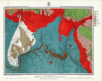
58. Parts Of Eastern And Southern Nevada And Southern Utah.
2738044
Wheeler, G.M.
1872
58. Parts Of Eastern & Southern Nevada And Southwestern Utah.
2738066
Wheeler, G.M.
1876
66. Parts Of Eastern & Southeastern Nevada & Southwestern Utah.
2738067
Wheeler, G.M.
1872
66. Parts Of Eastern & Southeastern Nevada & Southwestern Utah.
2738068
Wheeler, G.M.
1873
67. Parts Of Northern & North Western Arizona & Southern Utah.
2738069
Wheeler, G.M.
1873
67. Parts Of Northern & North Western Arizona & Southern Utah.
2738105
Wheeler, G.M.
1871
Preliminary Topographical Map ... Explorations in Nevada and Arizona.
2738106
Wheeler, G.M.
1872
Map Prepared to accompany the Lists of Distances, Camps, Etc.
2738107
Wheeler, G.M.
1879
Outline Map Of Washoe District Nev. Showing Comstock Lode Etc.
2738108
Wheeler, G.M.
1879
Outline Map Of Washoe District, Nevada.
2738109
Wheeler, G.M.
1877
Topographical Map Of Washoe Mining Region.
2739000
Wheeler, G.M.
1869
Topography Of Southern & Southeastern Nevada.
3453000
DeGroot, Henry ; Holt, Warren
1863
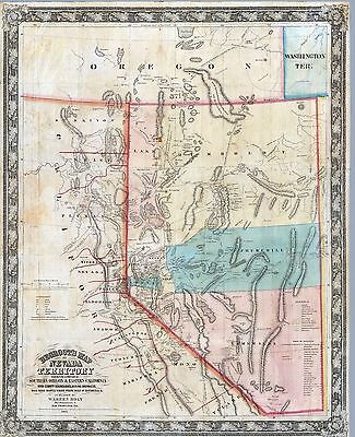
DeGroot's Map Of Nevada Territory.
3565153
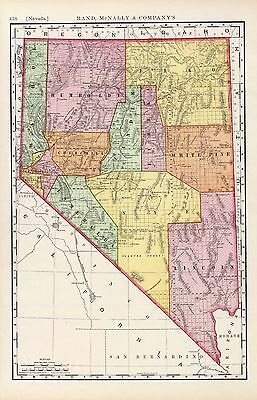
Rand McNally and Company
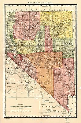
1897
Nevada.
4620000
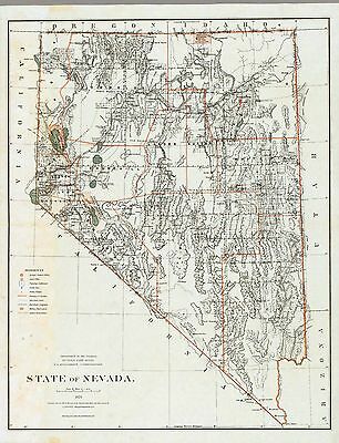
U.S. General Land Office
1879
State Of Nevada.
4713022
Dutton, Clarence E. (Clarence Edward), 1841-1912
1882
Geologic Map Showing The South-Western Portion Of The Mesozoic Terraces.
5370029
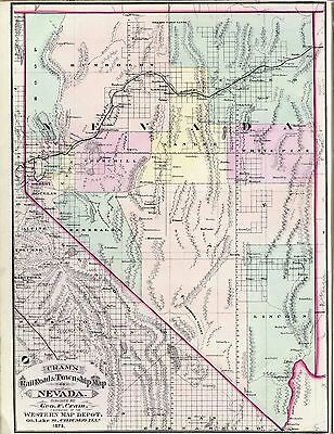
Cram Atlas Company
1875
Nevada.
pm000312
Parsons, Charles, 1821-1910, artist.
Sacramento city, Ca. [graphic] : from the foot of J. Street, showing I., J., & K. Sts. with the Sierra Nevada in the distance / C. Parsons ; drawn Dec. 20th 1849 by G.V. Cooper ; lith. of Wm. Endicott & Co., N. York.
New York : Published by Stringer & Townsend, c1850.
pm004683
Kuchel, Charles Conrad, b. 1820, lithographer.
Virginia City, Nevada Territory, 1861 [graphic] / drawn from nature by Grafton T. Brown ; C.C. Kuchel, lith.
[San Francisco, Ca.] : Published by Grafton T. Brown, 1861
pm004690
Koch, Augustus, b. 1840.
Birds eye view of Virginia City, Storey County, Nevada. Drawn by Augustus Koch. Lith. Britton, Rey & Co.
S[an] F[rancisco] 1875.
rr001660
Egloffstein, F. W., 1824-1885.
From Great Salt Lake to the Humboldt Mountains. From explorations and surveys made under the direction of the Hon. Jefferson Davis, Secretary of War by Capt. E. G. P. Beckwith, 3d. Artillery. E. [sic] W. Engloffstein, Topographer for the route, 1855.
Washington, D.C. Selmar Siebert’s Engraving & Printing Establishment, [1859]
rr001670
Egloffstein, F. W., 1824-1885.
From the Humboldt Mountains to the Mud Lakes. From explorations and surveys made under the direction of the Hon. Jefferson Davis, Secretary of War by Capt. E. G. Beckwith, 3d. Artillery. F. W. Egloffstein, Topographer for the route, 1855.
Washington, D.C., Selmar Siebert’s Engraving & Printing Establishment, [1859].
rr001680
Egloffstein, F. W., 1824-1885.
From the valley of the Mud Lakes to the Pacific Ocean. From explorations and surveys made under the direction of the Hon. Jefferson Davis, Secretary of War by Capt. E. G. Beckwith, 3d. Artillery. F. W. Egloffstein, Topographer for the Route, 1855.
Washington, D.C. Selmar Siebert’s Engraving & Printing Establishment, [1859]
rr001870
Bielawski, C.
Railroad map of the central part of California, and part of Nevada. 1865.
1865.
rr001880
Asher & Adams.
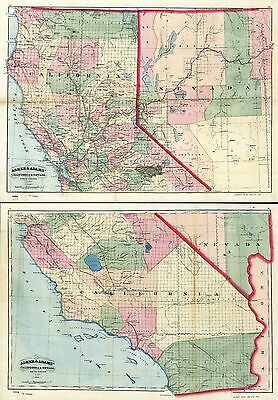
[New commercial and topographical rail road map & guide of California and Nevada].
New York, 1874.
rr002530
Rand McNally and Company.
Indexed county and township pocket map and shippers guide of Nevada, accompanied by a new and origianl compilation and ready reference index, showing in detail the entire railroad network.
Chicago, 1893.
rr005680
G.W. & C.B. Colton & Co.
Map of California to accompany printed agreement of S. O. Houghton as to the rights of the Southern Pacific R.R. Co. of Cal. to government lands under Acts of Congress passed July 27, 1866 and March 3, 1871 made before the committee of the judiciary of the Senate and Ho. of Reps. in May 1876.
0027012
0041028
0041029
0041030
0046000
0047002
0115000
0151062
0341050
0352044
0358049
0408001
0408002
0408003
0408004
0408007
0408008
0408009
0408010
0408011
0408012
0408014
0425077
0572038
0579041
0586046
0592048
0693009
0693010
0693011
0693029
0994012
0999001
1000001
1071016
1071017
1073010
1073011
1078000
1550063
1582002
1596001
1780134
1954105
2054050
2094057
2097000
2115000
2130001
2130023
2134090
2205001
2212258
2220001
2220045
2220046
2239026
2256002
2307025
2449088
2479002
2546000
2570003
2585077
2674000
2710031
2738018
2738025
2738026
2738027
2738028
2738045
2809056
2809057
2809058
2809059
2844079
2901000
3054020
3054021
3054022
3054023
3054024
3054025
3054026
3120002
3249002
3356002
3356003
3360000
3373003
3440000
3529000
3554001
3630000
3668003
3672003
3758000
3888049
5969040
4393001
4520045
4580012
4587065
4727049
4740056
4748002
4820001
4822001
4825060
4977056
4977058
5028133
5041039
5153000
5154001
5198004
5294000
5297000
5303001
5310000
5316000
5410002
5411002
5479099
5651000
5755038
5784045
5797091
Features of this DVD
This auction is for a DVD of the maps listed in electronic form,
NOT
the maps themselves.
These maps are VERY high resolution and can be printed at FULL SCALE or LARGER for framing and display. The results are very high quality and convincing.
Ad and disk copyright 2013
Euriskodata
All Rights Reserved
Powered by
eBay Turbo Lister
The free listing tool. List your items fast and easy and manage your active items.
